Delta BC sits on the Fraser River delta. The contrast between the sandy levees near the river and the deep soft clay deposits inland is striking. That difference drives our approach to seismic microzonation in Delta BC. A warehouse on Annacis Island might sit on dense sand. A few blocks away, a school in Nordel lies on 200 metres of Holocene silt and clay. The shaking response at each site is nothing alike. We map these transitions precisely. Before ground motion analysis, we often run a MASW survey to capture the shear wave velocity profile. That data feeds directly into the site classification for your project.
Two hundred metres of soft clay can turn a moderate earthquake into a long-duration shaking event that demands careful foundation design.
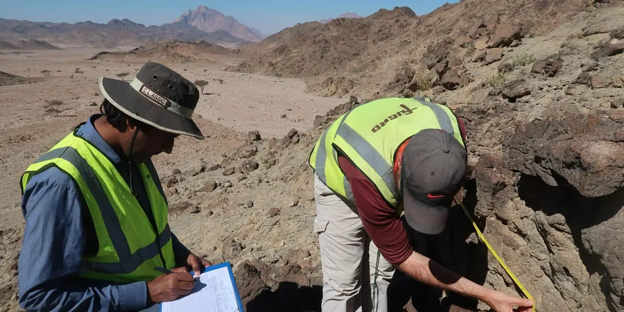
Methodology applied in Delta BC
Local geotechnical conditions in Delta BC
The Fraser delta is a deep sedimentary basin. Bedrock sits 250 metres below downtown Delta. When seismic waves hit that soft column, they slow down and amplify. The 1946 Vancouver Island earthquake caused shaking felt strongly in Delta despite being 150 km away. That long-period amplification is the real risk here. We model it with 1D and 2D ground response analyses. Our seismic microzonation in Delta BC identifies zones where spectral acceleration exceeds the NBCC uniform hazard spectrum. Ignoring that local amplification means under-designing the structure.
Our services
We deliver three core microzonation services tailored to Delta's soils.
Vs30 Mapping and Site Classification
Active and passive surface wave arrays across the municipality. We produce Vs30 contour maps and assign NBCC site classes per block. Data covers the entire Delta BC planning area.
Liquefaction Susceptibility Zoning
SPT and CPT based liquefaction triggering analysis following Youd-Idriss (2001) and NCEER procedures. We map zones of high, moderate, and low liquefaction risk for Delta's riverfront and reclaimed areas.
Ground Response Analysis for Design
1D equivalent-linear and nonlinear site response analysis using DEEPSOIL and SHAKE. Outputs include acceleration time histories and design response spectra for each microzone in Delta BC.
Frequently asked questions
What is the difference between a seismic hazard map and seismic microzonation?
A seismic hazard map shows ground motion at bedrock level across a broad region. Seismic microzonation refines that to account for local soil effects. In Delta BC the bedrock motion can double or triple at the surface depending on the clay thickness and stiffness.
How much does a seismic microzonation study in Delta BC cost?
The cost ranges between CA$5,080 and CA$21,370 depending on the number of test locations, depth of profiling, and whether you need full ground response analysis or just Vs30 classification. Contact us for a quote specific to your site.
What is Vs30 and why does it matter for my project?
Vs30 is the average shear wave velocity in the top 30 metres of soil. It is the primary parameter used by NBCC to assign site class. In Delta BC a Vs30 of 180 m/s places you in Site Class E, which requires higher design forces than Class D. We measure Vs30 directly with surface wave methods.
Is liquefaction a concern in Delta BC?
Yes. The Fraser River sands and silty soils below the water table are susceptible. Our microzonation identifies areas where cyclic stress ratios exceed the cyclic resistance ratio. We map those zones so you can plan ground improvement or deep foundations accordingly.
Do I need microzonation for a single-family home in Delta?
NBCC does not require microzonation for Part 9 buildings. However, if your home is in a known soft soil zone near Burns Bog or the river, a Vs30 measurement can help your structural engineer decide between a shallow foundation and a pile-supported slab. It is a cost-effective insurance against unexpected settlement.