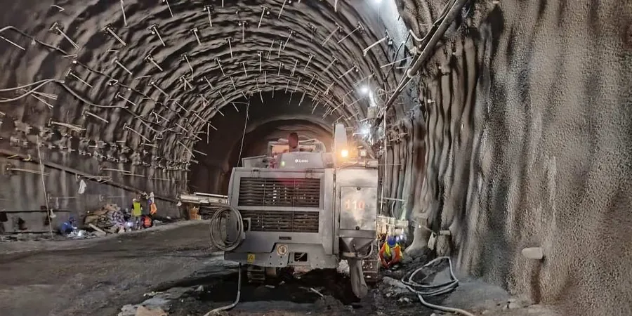
Delta BC sits on the Fraser River delta, where Holocene sediments reach depths exceeding 200 meters in places. This thick sequence of silts, clays, and organic layers creates unique challenges for excavation stability. With the population of Delta approaching 110,000, urban infill and infrastructure upgrades demand precise monitoring—tiltmeters, inclinometers, and piezometers become essential tools. Our team deploys automated data acquisition systems that transmit readings every 15 minutes, allowing engineers to adjust shoring loads or dewatering rates before movements exceed tolerable limits. For projects requiring deeper insight, we integrate MASW-Vs30 profiling to map stiffness contrasts across the sedimentary column.
In Delta BC’s deep alluvial basin, even a 3 mm lateral movement can signal a developing failure plane—our monitoring catches it before it becomes a claim.
Methodology applied in Delta BC
- Real-time data via cloud platform with SMS alerts
- Daily reports with trend analysis and threshold comparisons
- Post-excavation back-analysis for future project optimization
Local geotechnical conditions in Delta BC
The Fraser River estuary brings tidal fluctuations into Delta BC’s groundwater regime—piezometric levels can shift 1.5 m within a single tide cycle. Combined with the region’s high seismic hazard (NBCC 2020 PGA of 0.32 g for Site Class D), excavation walls face both hydraulic and dynamic loading. Loose sand layers below the water table are prone to liquefaction during a design earthquake, potentially causing sudden lateral spreading. Our monitoring integrates seismic accelerometers and pore-pressure transducers to detect early signs of cyclic softening. Without continuous geotechnical excavation monitoring, a standard basement excavation could endanger adjacent roadways and utility corridors.
Our services
We deliver three core monitoring services tailored to excavation conditions in Delta BC’s sedimentary environment.
Inclinometer & Tilt Monitoring
Continuous lateral movement tracking using in-place inclinometers with 0.01 mm precision, deployed behind sheet piles or secant pile walls. Ideal for deep basements and cut-and-cover tunnels.
Piezometric & Dewatering Control
Real-time pore pressure monitoring with vibrating-wire piezometers linked to automated dewatering systems. Prevents bottom heave and piping failures in Delta’s silty sands.
Structural & Surface Settlement Arrays
Robotic total station surveys and crack gauges on adjacent buildings, plus settlement plates on ground surface. Data feeds into a dashboard with alarm thresholds for 5 mm cumulative movement.
Frequently asked questions
What is the typical cost range for geotechnical excavation monitoring in Delta BC?
For a standard shored excavation up to 8 m deep, expect between CA$1,200 and CA$3,200 depending on sensor count, project duration, and reporting frequency. A full inclinometer array plus piezometers for a 4-month job falls near the upper end.
How often should monitoring data be reviewed during active excavation?
We recommend real-time data transmission with automated alerts, plus a daily engineering review when excavation proceeds below 3 m depth. Weekly summary reports suffice for pre-excavation baseline and post-tieback stages.
Which sensors are most critical for excavations in Delta BC’s Fraser River silt?
Inclinometers for lateral wall movement and vibrating-wire piezometers for pore pressure are essential. In areas near Burns Bog, add settlement plates and crack gauges on adjacent structures due to the high compressibility of organic silt layers.
Can monitoring continue after backfilling to verify long-term performance?
Yes—we often leave inclinometer casings and piezometers in place for 6 to 12 months after backfill to confirm that consolidation settlements and wall deflections have stabilized. This data supports future project risk assessments in similar Delta soils.