Delta BC grew from a network of dikes and farmland into a thriving suburb of Metro Vancouver, and with that transformation came a complex subsurface story. The Fraser River delta deposits layered silt, sand, and peat across the area, so any digging—whether for a new foundation or a utility trench—risks hitting old drainage tile or buried infrastructure. A GPR (Ground Penetrating Radar) survey gives project teams a real-time picture of what lies beneath before breaking ground. For road upgrades in North Delta, crews often pair this with a resistivity survey to map deeper groundwater channels, ensuring no surprises during excavation.
In Delta BC, peat layers can mask buried utilities—GPR cuts through that uncertainty with centimeter-level accuracy before any digging starts.
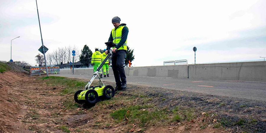
Methodology applied in Delta BC
Demonstration video
Local geotechnical conditions in Delta BC
A crew upgrading a water main along 56th Street in Delta BC hit an uncharted fiber-optic line last year. The contractor had skipped a full GPR (Ground Penetrating Radar) survey, relying only on old as-builts. That one mistake cost $18,000 in repairs plus a two-week schedule delay. In Delta BC, where the water table sits just 1–2 meters below grade, voids from decaying organics can also look like safe soil on a utility map. Without radar imaging, backhoes punch through those pockets, damaging adjacent services. A proper survey flags these hazards in hours, not days.
Our services
We offer three focused GPR survey services tailored to Delta BC conditions:
Utility Locating & Mapping
Identify buried pipes, conduits, and cables before excavation. Ideal for roadwork and basement construction in Delta BC's tight urban corridors.
Concrete Scanning
Map rebar, post-tension cables, and voids inside slabs. Used extensively on bridge decks and industrial floors in Delta BC's port area.
Subsurface Stratigraphy
Map soil layers, peat pockets, and bedrock depth for geotechnical planning. Critical for foundation design on Delta BC's deltaic sediments.
Frequently asked questions
What depth can GPR reach in Delta BC's soils?
In the silty sands typical of Delta BC, expect 3–5 meters with a 200 MHz antenna. In clay or peat, depth drops to 1–2 meters due to signal attenuation. We adjust antenna frequency on site for best results.
How much does a GPR survey cost in Delta BC?
A standard utility locating survey for a residential lot runs between CA$1,200 and CA$2,500. Larger commercial sites covering 1–2 hectares range from CA$3,500 to CA$8,000. Final price depends on site size and complexity.
Does wet ground affect GPR accuracy?
Yes—wet clay or saturated peat absorbs radar energy, reducing depth by 50% or more. In Delta BC's high-water-table areas, we schedule surveys during drier months or use lower-frequency antennas to compensate.